Kisshoin'ikenochi-cho, Kyoto Minami, Kyoto: flood, tsunami, quake and landslide risk
吉祥院池ノ内町・京都市南区・京都府
Kisshoin'ikenochi-cho, Kyoto Minami. Flood: 0.5–3 m. Quake: 53.1% chance of strong shaking in 30 years.
- Flood, assumed maximum
- 0.5–3 m
- Tsunami
- Not coloured on this tile
- Landslide
- Debris flow: no tile finer than zoom 12. Steep slope: no tile finer than zoom 12. Landslide: no tile finer than zoom 10.
- Strong quake in 30 years
- 53.1%, 30-year chance of intensity 6-lower or higher
- Ground
- Back marsh. Shakes 2.12× the bedrock.
- Nearby stations
- 西大路 Sta. (840 m), 桂川 Sta. (1910 m), 梅小路京都西 Sta. (2150 m)
These figures are read at the centre of Kisshoin'ikenochi-cho. Hazards change from street to street, so check the exact address on the live map.
Open Kisshoin'ikenochi-cho on the live map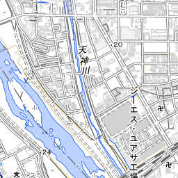
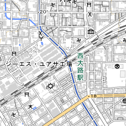
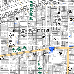
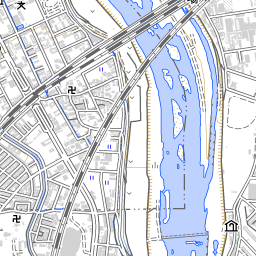
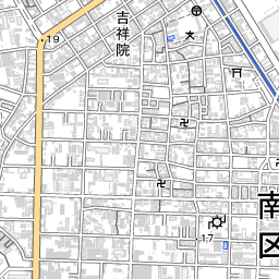
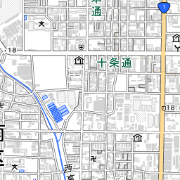
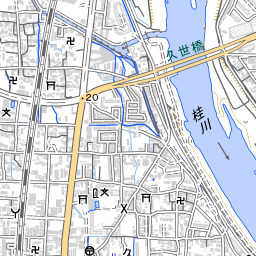
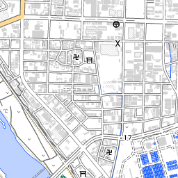
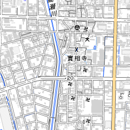
Map: Geospatial Information Authority of Japan. The pin marks the centre of the town.
What to check before you rent or buy
- Not coloured means the Geospatial Information Authority tile has no flood colour here. Some prefecture-managed rivers are missing from that dataset.
- No national liquefaction tile. Check the municipal hazard map before you offer. This screen does not paint liquefaction.
- Straight-line distance, not the walk.
More in Kyoto Minami
- All towns in Kyoto Minami
- Kisshoinnishiura-cho 吉祥院西浦町
- Kisshoinkurumamichi-cho 吉祥院車道町
- Kisshoinsannomiyanishi-machi 吉祥院三ノ宮西町
- Kisshoinhainoborinishi-machi 吉祥院這登西町
- Kyoto
Sources
Geospatial Information Authority of Japan: Pale map, town names, flood, tsunami, and landslide caution tiles. J-SHIS: Y2024 average case, 30-year chance of intensity 6-lower or higher. HeartRails: Town name readings, and nearest stations as a straight-line distance. Town centres: Ministry of Land, Infrastructure, Transport and Tourism. Data fetched 2026-10-11.
This repackages public Japanese government hazard data for personal screening. It is not insurance, legal, or engineering advice. Confirm with municipal maps and your agent’s important-matters explanation before purchase.