Aoyamaminami, Himeji, Hyogo: flood, tsunami, quake and landslide risk
青山南・姫路市・兵庫県
Aoyamaminami, Himeji. Flood: Not coloured on this tile. Quake: 0.6% chance of strong shaking in 30 years.
- Flood, assumed maximum
- Not coloured on this tile
- Tsunami
- Not coloured on this tile
- Landslide
- Debris flow: no tile finer than zoom 14. Steep slope: caution, 25 m away, no tile finer than zoom 15. Landslide: no tile finer than zoom 10.
- Strong quake in 30 years
- 0.6%, 30-year chance of intensity 6-lower or higher
- Ground
- Mountain. Shakes 0.57× the bedrock.
- Nearby stations
- 余部 Sta. (2010 m), 播磨高岡 Sta. (2490 m), 英賀保 Sta. (3320 m)
These figures are read at the centre of Aoyamaminami. Hazards change from street to street, so check the exact address on the live map.
Open Aoyamaminami on the live map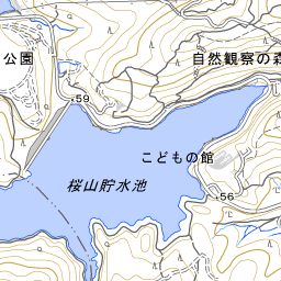
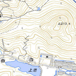
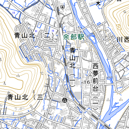
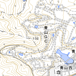
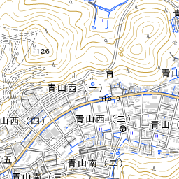
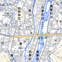
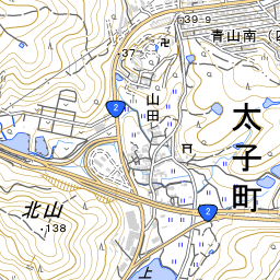
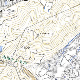
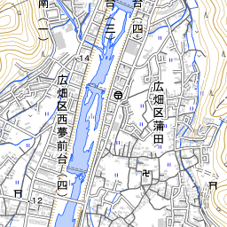
Map: Geospatial Information Authority of Japan. The pin marks the centre of the town.
What to check before you rent or buy
- Not coloured means the Geospatial Information Authority tile has no flood colour here. Some prefecture-managed rivers are missing from that dataset.
- No national liquefaction tile. Check the municipal hazard map before you offer. This screen does not paint liquefaction.
- Straight-line distance, not the walk.
More in Himeji
Sources
Geospatial Information Authority of Japan: Pale map, town names, flood, tsunami, and landslide caution tiles. J-SHIS: Y2024 average case, 30-year chance of intensity 6-lower or higher. HeartRails: Town name readings, and nearest stations as a straight-line distance. Town centres: Ministry of Land, Infrastructure, Transport and Tourism. Data fetched 2026-10-11.
This repackages public Japanese government hazard data for personal screening. It is not insurance, legal, or engineering advice. Confirm with municipal maps and your agent’s important-matters explanation before purchase.